I departed at 9 AM on Saturday morning. Waited for a Commercial ship to pass before entering the channel.
The current was against me. It was supposed to turn around at 11ish, but I had turned towards Wrightsville, and it seemed the current there was different.
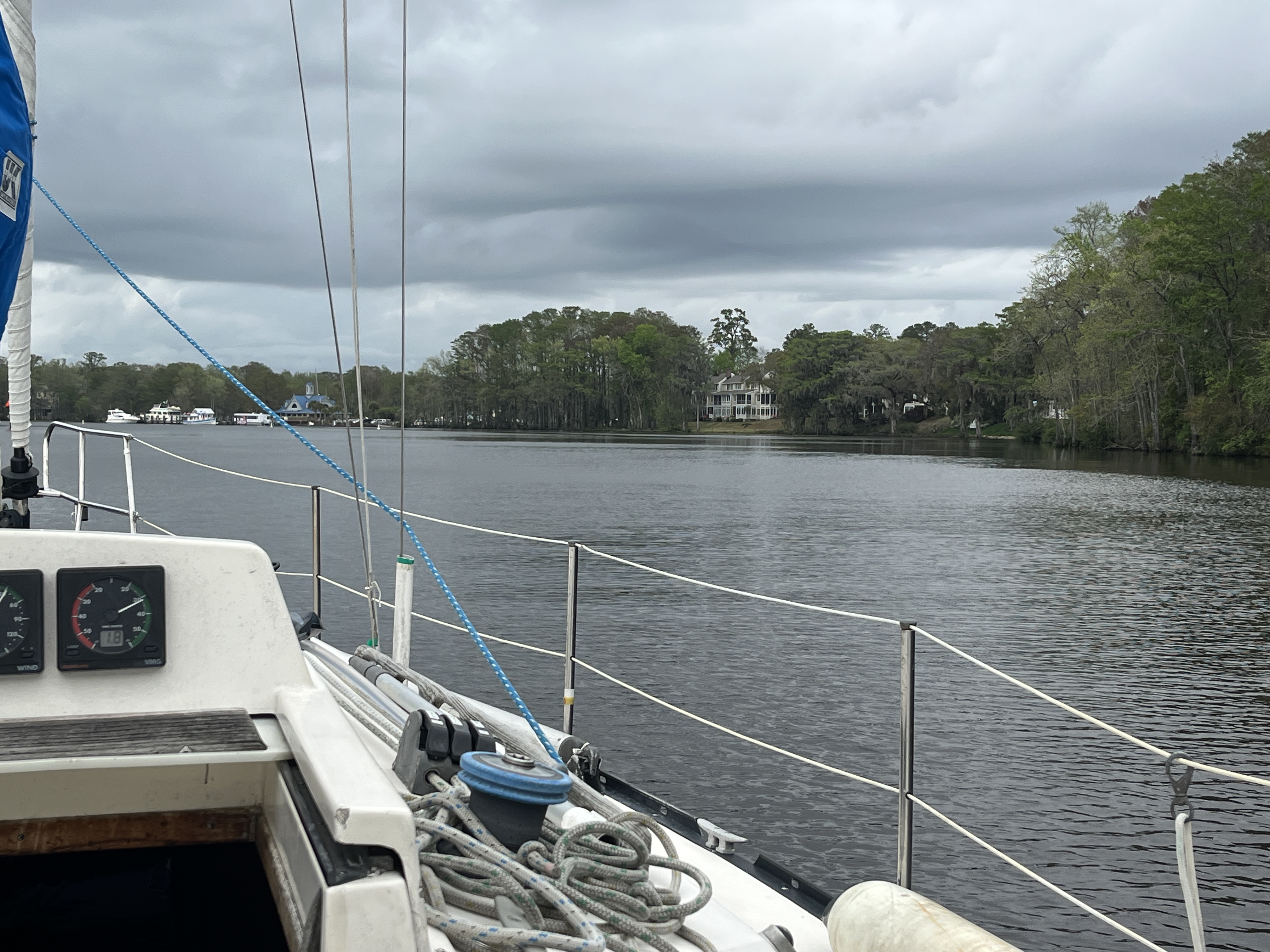
I motor-sailed with the jib set for a run until I turned off the tributary for Wrightsville, which was more prudent, and with great caution, I decided to furl the jib. Good thing. It was a good run,
At MM 283, USACE and Bob423 clearly showed that the channel was shoved. I saw a sailboat, Le Vent, trying to go through it, and I wanted to radio her to be careful. She ran aground and turned around. I exited the channel at the port and then cut through the channel to the other side, clearing the shoals. I was very obvious with Aquamap. I guided Le Vent through it. Love You, Aquamap.
 |
| There was shoaling in the channel at Mile Marker 293. Bob423 is on the blue track. The red track was Bellum. |
It was 25 miles to Wrightsville Beach and another 30 miles to Hemlock Bay. There were no real safe anchorages that I could find, so I anchored at Wrightsville Beach at 2PM. It was blowing 20 knots. There was a great 420 regatta.
I dropped the dinghy off at the dock, then walked 4 km to the Food Lion, where I had a Wendy's Bacon burger, bought a double beer, and picked up some groceries. After that, I walked back to the dinghy dock.
The next day was very windy, and I was tired, so I spent Sunday at anchor doing some boat repair and cleaning. I tried to lubricate the throttle and shifter below the compass, but the steel screws were seized to the binnacle casting. I got two of the four screws off and then dropped one screw down the cockpit drain. Supper was Salmon.
On Monday, it was windy but calmed down, and I tried to get to Hammock Bay, 30 miles North. The Wrightsville bridge warned us we might have to wait at Figure 8. The bridge would only open if the winds calmed down. It should be fine. I went about two miles, and there was a 40-ish sailboat aground on the channel. She obviously did not have Aquamap, which clearly shows the proper track. This might have been the same guy on the radio earlier who was at the fuel dock asking for the Figure 8 bridge phone number because his VHF was not working. A towboat was there.
| The channel was obviously shoaling. |

I arrived at the Figure 8 bridge, and the winds picked up after 40 minutes of doing circuits. I gave up and returned to the Wrightsville Bridge.
The ride back was a little rough, with the wind in my face.
On the way back, the grounded boat was anchored in the middle of the channel about 1000 feet north of the shoaling.
A Storm Watch was announced. I decided to anchor anyway. Today's trip was from 10:30 to 3PM.